
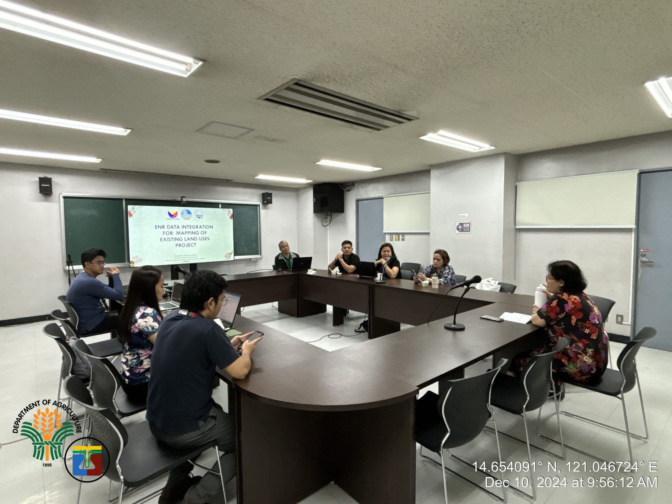
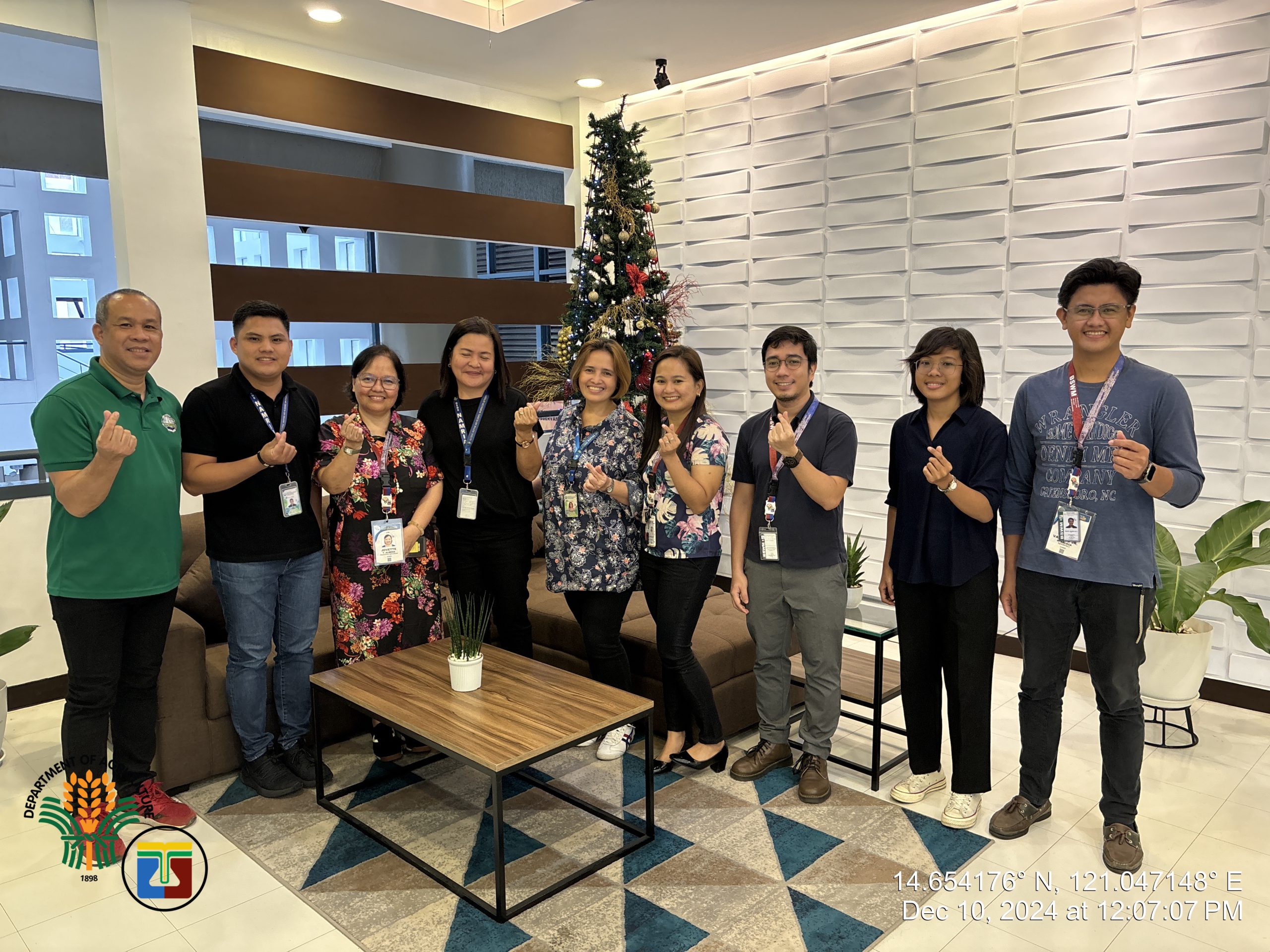
On December 10, 2024, the Department of Agriculture – Bureau of Soils and Water Management (DA-BSWM), through its Agricultural Land Management and Evaluation Division (ALMED), held a meeting with the National Mapping and Resource Information Authority (NAMRIA) to discuss potential partnerships in Land Use Mapping.
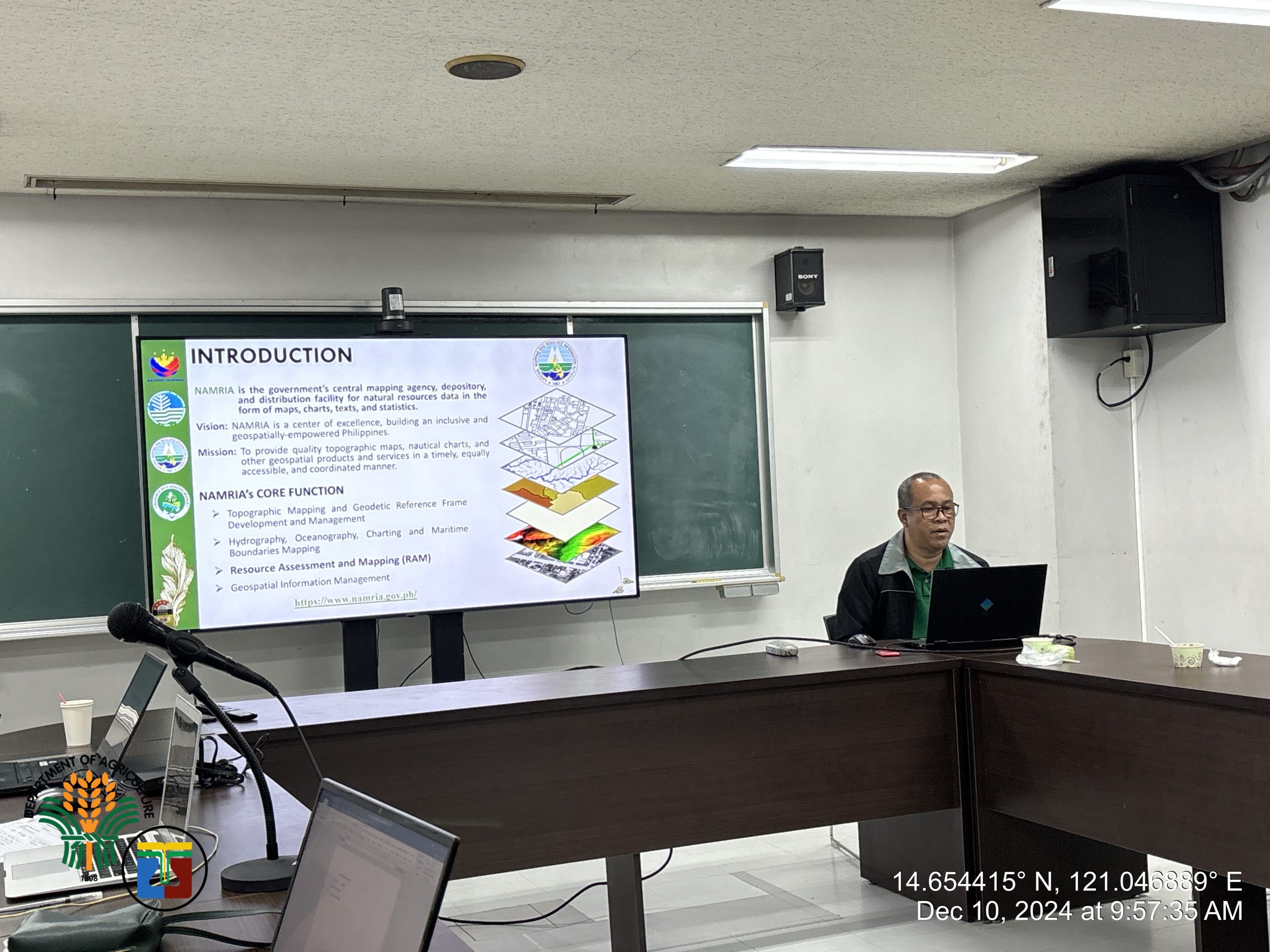
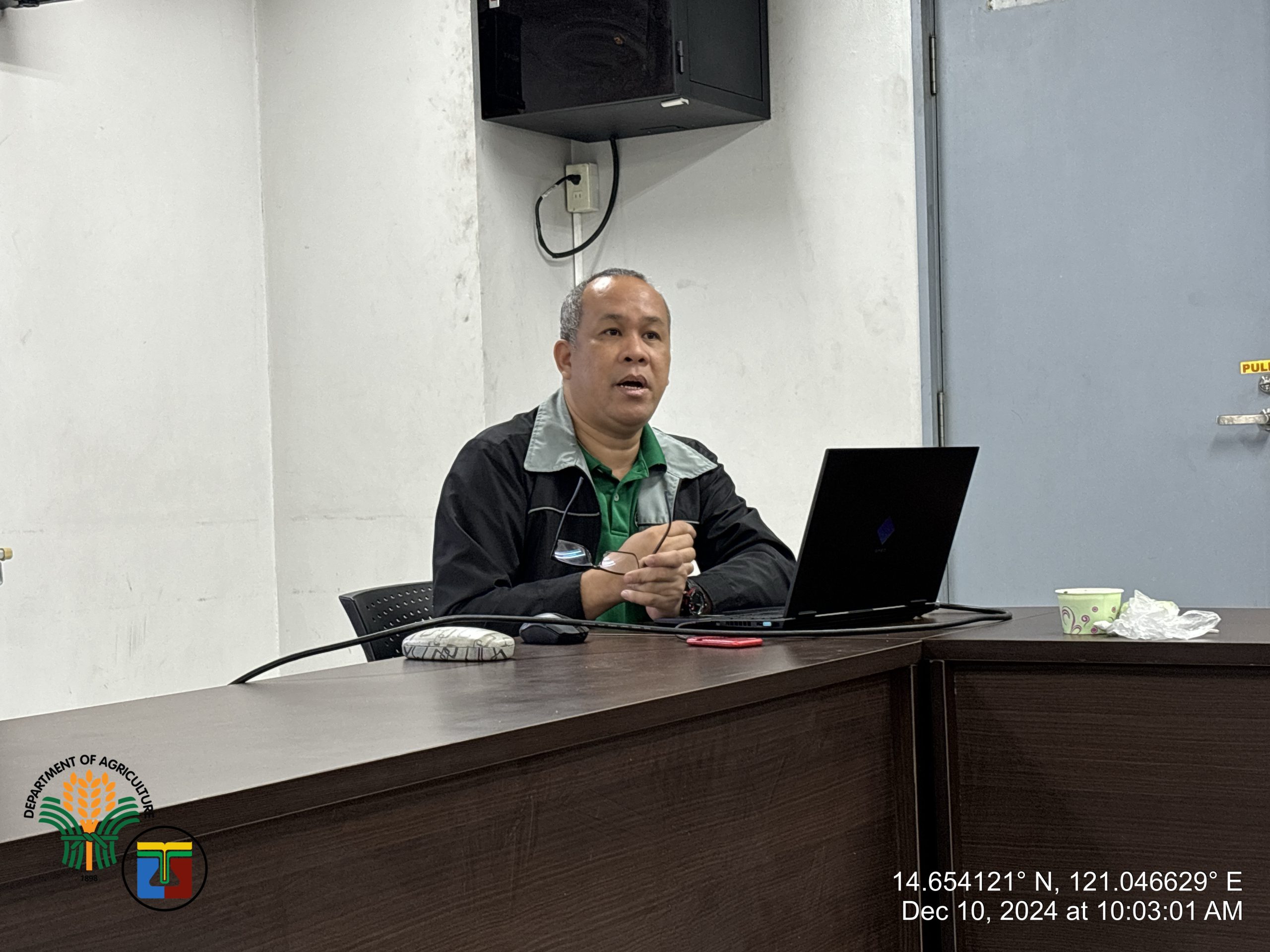
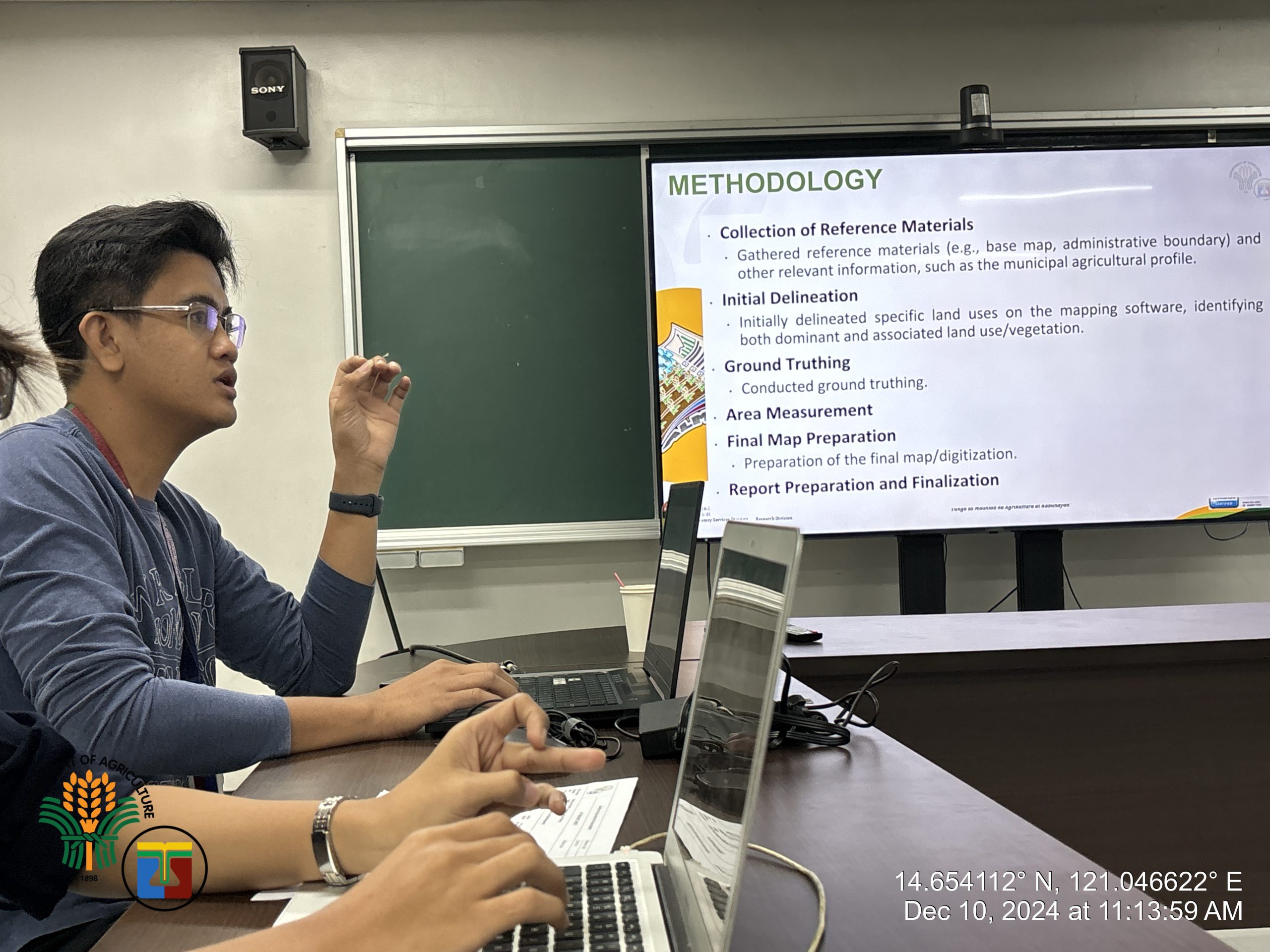
During the meeting, Mr. Dennis T. Buena, Senior Remote Sensing Technologist of the NAMRIA introduced their ongoing project on Mapping of Existing Land Use while highlighting its Standard Land Use Categories. Afterwards, to discuss the BSWM land use mapping techniques, Mr. Valerio R. Ablaza, Agriculturist II of the Land Resource Inventory and Evaluation Section (LRIES), presented the Division’s protocol in delineating BSWM’s Specific Land Use maps.
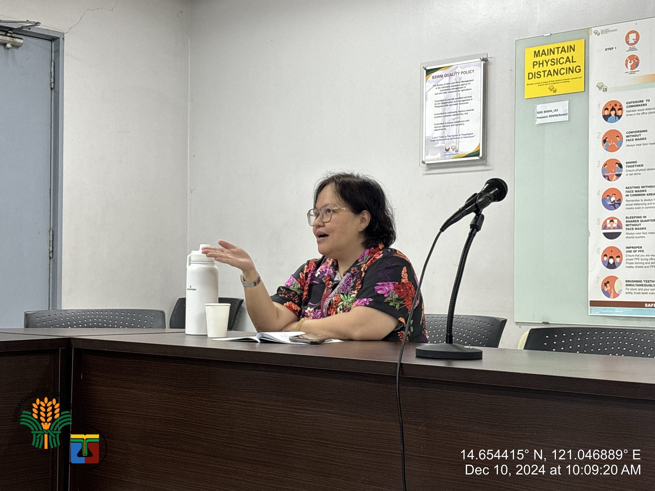
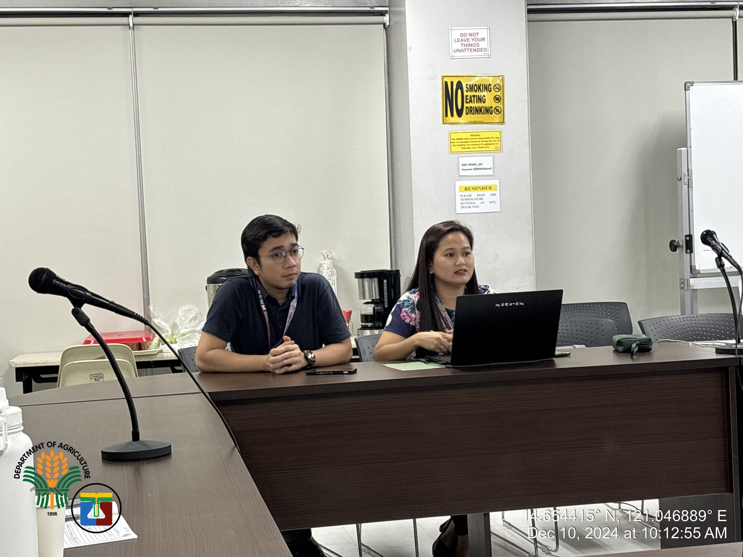
ALMED recognizes its congruence with the NAMRIA project hence, Ms. Jovette T. Almeda, ALMED Chief, guided the discussion on land use relevant to Land Use Reclassification and Strategic Agriculture and Fisheries Development Zones (SAFDZ), and emphasized each matter raised, as opportunities for collaboration.
As the meeting concluded, ALMED envisions to involve NAMRIA in future projects, particularly the LUAPADI initiatives in Batanes and Zamboanga Sibugay, as well as in providing GIS Training for ALMED staff.
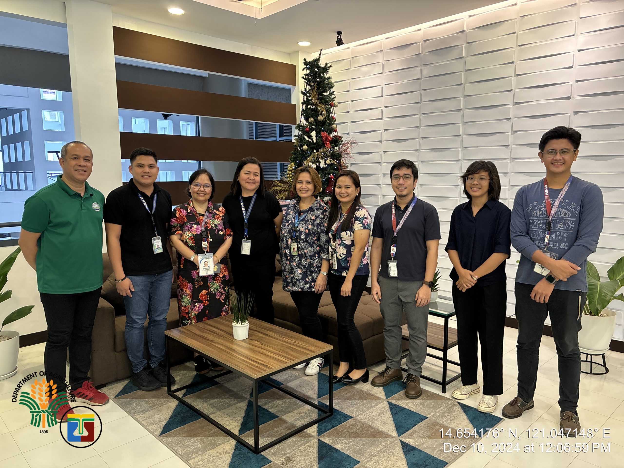
Also present in the meeting were, from NAMRIA: Ms. Estela Gumabon, Chief Remote Sensing Technologist, Ms. Cristina Montoya, Supervising Remote Sensing Technologist, and John Albert Baltazar, Senior Remote Sensing Technologist; and from ALMED: Mr. Jordan Calura, Senior Agriculturist of the Land Utilization Planning and Management Section (LUPMS); Ms. Regine Marie Sabornido, OIC of the Agricultural Land Resource and Management Section (ALRMS); and Ms. Katrina Buduan, Agriculturist I of the Agricultural Land Resource and Management Section (ALRMS).
NAMRIA currently conducts the project entitled, “ENR Data Integration for Mapping of Existing Land Use.” This aims to produce updated and integrated land use data using high-resolution satellite imageries and provide technical assistance to the Local Government Units (LGUs) through Geographic Information System (GIS) capacity building sessions. Congruent to the ALMED mandates, NAMRIA through Mr. Dennis T. Buena, Senior Remote Sensing Technologist, requested a meeting with DA-BSWM through Ms. Jovette T. Almeda, ALMED Chief.
(Katrina S. Buduan, ALMED)
#BagongPilipinas
#ParaSaMasaganangBagongPilipinas
#DABSWM #BSWMBagongPilipinas
#LandUseMapping
See links below for the latest posts about the BSWM:
- DA-BSWM mas pinatibay ang implementasyon ng SSIP para sa mga Magsasaka
- DA-BSWM-CPIT, Pinalakas ang Pamantayan sa Makinarya para sa Mas Mataas na Produksyon ng mga Magsasaka
- DA-BSWM Empowers Davao de Oro Farmers with SLM Training
- 2025 BSWM-FFTC Symposium and Training Course: Measurement, Monitoring and Management of Soil Health
- 𝐃𝐀-𝐁𝐒𝐖𝐌 𝐟𝐨𝐫𝐠𝐞𝐬 𝐩𝐚𝐫𝐭𝐧𝐞𝐫𝐬𝐡𝐢𝐩 𝐰𝐢𝐭𝐡 𝐬𝐭𝐚𝐤𝐞𝐡𝐨𝐥𝐝𝐞𝐫𝐬 𝐟𝐨𝐫 𝐭𝐡𝐞 𝐒𝐖𝐈𝐒 𝐖𝐚𝐭𝐞𝐫𝐬𝐡𝐞𝐝 𝐌𝐚𝐧𝐚𝐠𝐞𝐦𝐞𝐧𝐭 𝐏𝐫𝐨𝐣𝐞𝐜𝐭 𝐢𝐧 𝐑𝐞𝐠𝐢𝐨𝐧 𝐗𝐈