
The soil and land resources mapping and evaluation process shall be carried out by the Soils Survey Division (SSD), Agricultural Land Management and Evaluation Division (ALMED), Laboratory Services Division (LSD) and the Geomatics and Soil Information Technology Division (GSITD).
SSD shall lead the soil-based level assessment while ALMED shall handle the land-based level assessment. The LSD shall perform the soil sample analyses and the GSITD shall perform digital map preparation and finalization.
Project proposals shall be prepared aligned to the NSWRDEA and other policy directives for funding under the GAA or to development partners for collaborative and cost-sharing arrangements. As appropriate, the Memorandum of Agreement is then executed.
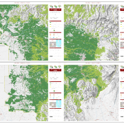
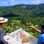
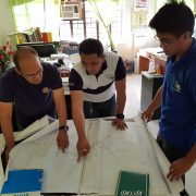
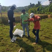
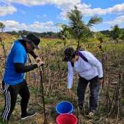
The implementation of PAP is divided into three phases: 1) pre-fieldwork, 2) fieldwork and primary data gathering, and 3) post-fieldwork. Through the implementation of PAP, soil and land resources-based datasets and information are generated, maps are developed, technical reports and other knowledge products are prepared for use by the relevant interested parties to aid crop production, research and development, planning, and policy formulation.