

Introduction
Under Republic Act 8435, known as the Agriculture and Fisheries Modernization Act (AFMA), the Department of Agriculture through the Bureau of Soils and Water Management identified and delineated the Network of Protected Areas for Agriculture and Agro-Industrial Development (NPAAAD) in 1998. The NPAAAD technically defined prime agricultural lands where soils, topography and agro-climate are suitable for agriculture and fishery development includes:
a) all irrigated areas,
b) all irrigable lands already covered by irrigation projects and those with firm funding commitment,
c) all alluvial plains highly suitable for agriculture whether irrigated or not,
d) agro-industrial croplands presently planted to industrial crops that support the viability of existing
agricultural infrastructure and existing agro-based enterprises,
e) highland areas located at elevation of 500 meters or higher that are currently utilized or are those that
have the potential for growing semi-temperate and high value crops,
f) all agricultural lands that are ecologically fragile, and
g) all fishery area identified in the fishery code.
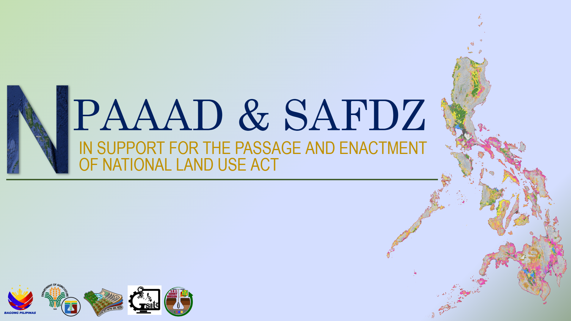
Strategic Agriculture and Fisheries Development Zone (SAFDZ) refers to strategically located and accessible areas within the delineated NPAAAD which are technically identified by the Department of Agriculture through the BSWM and validated by the Local Government Units, to serve as areas that will showcase modern farming (crops and livestock) and fishing technologies. SAFDZ are prime agricultural lands that are actively used for agricultural and fishery production and/or whose support facilities are available and strategically located to warrant full modernization of agriculture.
The NPAAAD and SAFDZ maps underwent review and updating and were launched in digital version (shapefile) in 2022
Significant Contribution
NPAAAD and SAFDZ serve as critical inputs to local and national land use planning and policy-making for the formulation of strategies for sustainable agriculture and fishery development.
• Integration of SAFDZ-CLUP in every municipality/city and the basis of PLUC and HLURB for approving their updated Comprehensive Land Use Plans.
• Basis in the preparation of the National and Regional Land Use Framework Plan, and the Provincial Development and Physical Framework Plan (PDPFP).
• Basis in identifying the areas closed to mining applications (no- go zone) under EO 79, s. 2012.
Stakeholders are the National Government Agencies (NGAs) such as the National Economic Development Authority (NEDA), DA Planning, as well as the DA-Regional Field Offices (RFOs), Program Planners of the Local Government Units (LGU) and other interested parties of the Agriculture and Fisheries Sector.
Beneficiaries
Agricultural and Fisheries sector and Program Planners of the Local Government Units